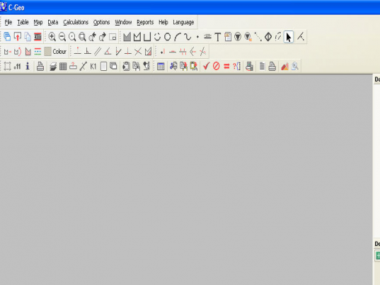
Description
Work with the information collected by various geodetic instruments such as (electronic tachometers, code levels, field recorders, GPS receivers, etc. by importing it into the dedicated program for viewing, processing, editing, and presentation. CAD functions for modification of vector maps and raster maps are available.


User comments